Geophysical survey - benefits of seeing underground
Geophysical surveys provide non-invasive, rapid, and cost-effective insights into subsurface conditions without disturbing the ground, preserving the sites for further use and for future generations and leading to better site planning and reduced costs by identifying potential hazards, archaeological remains, or resources.
Take a look at some of our projects:
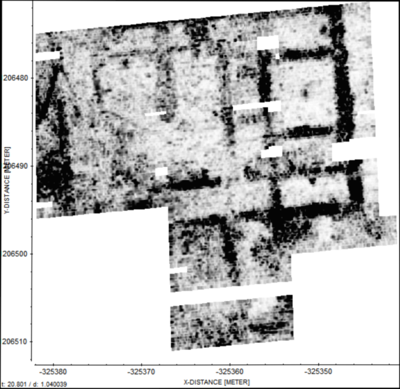
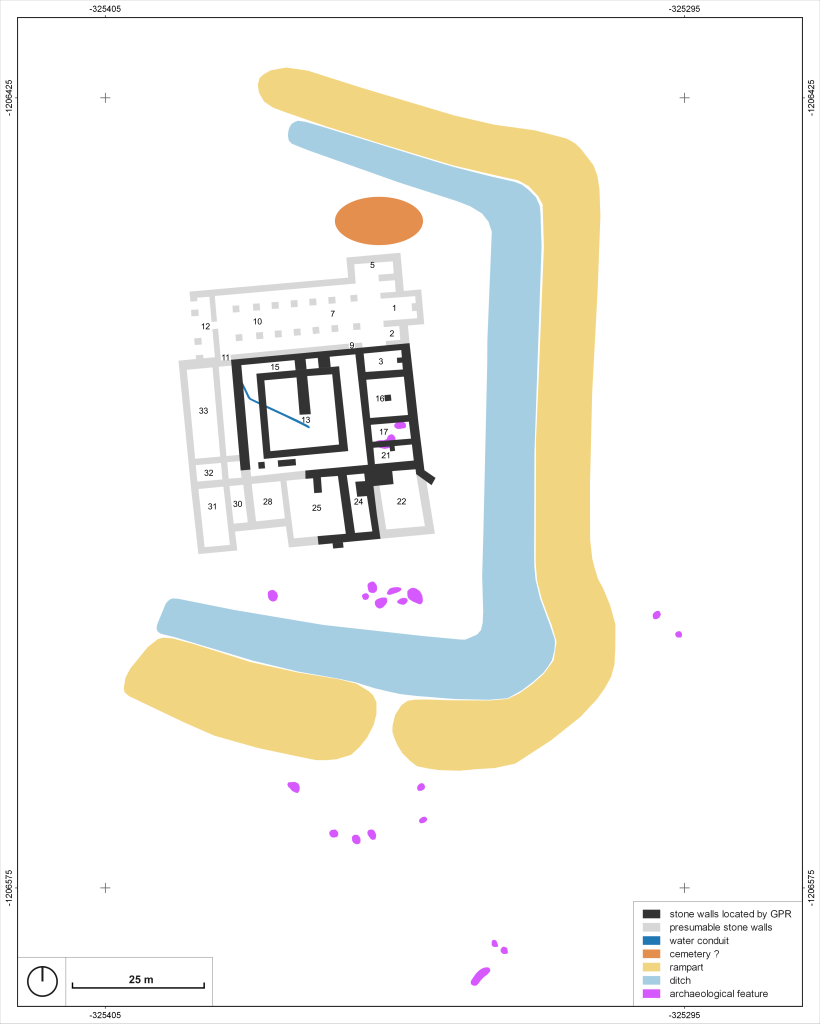
Results of geophysical survey using GPR on the area of the extinct monastery (left) and graphic interpretation of the results (right). The black lines are the masonry below the ground surface captured by GPR. Link to the source article:
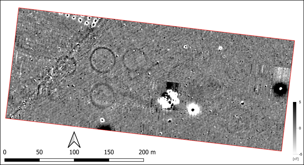
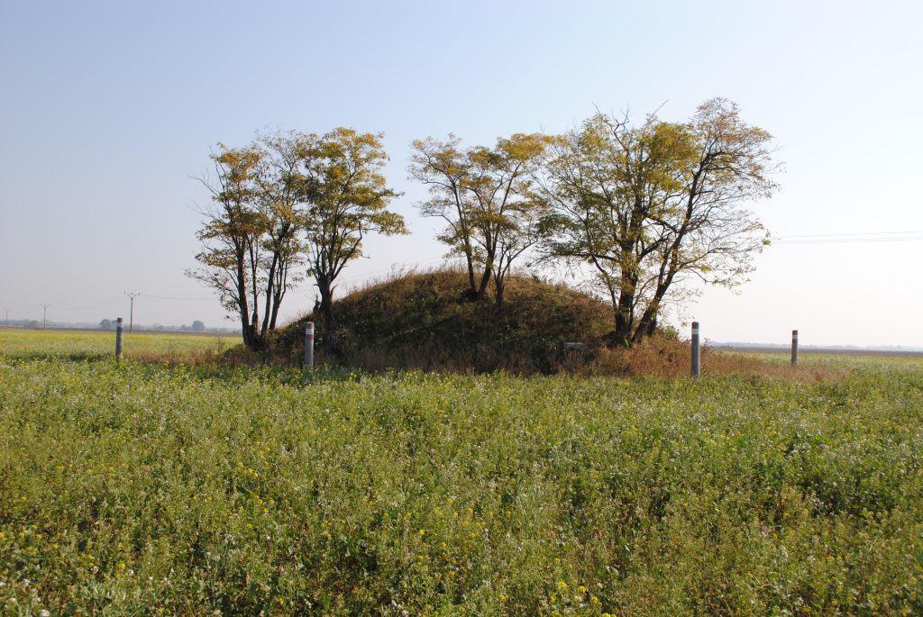
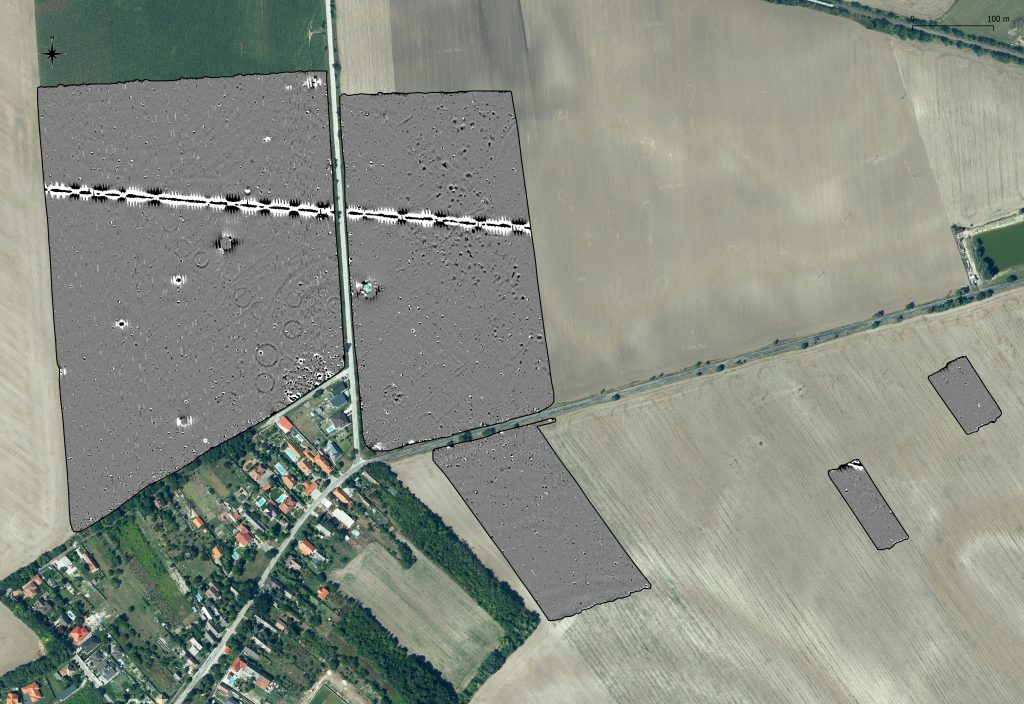
Early Iron Age tumulus burial ground - the results of geophysical survey using magnetometry, which showed the remains of prehistoric tumuli below the surface (on the left), although only one is visible on the surface nowadays (on the right). Link to source articles:
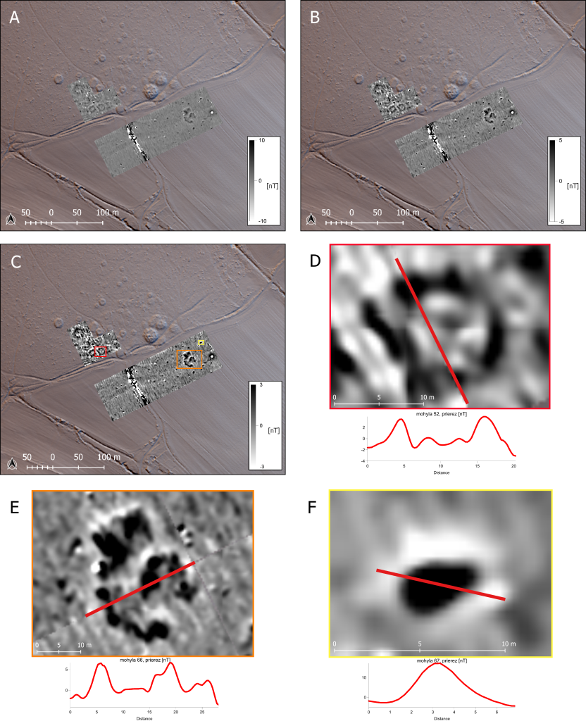
The geophysical survey of the Early Medieval mounds has provided, in addition to new scientific data, a basis for increased protection of this archaeological monument. Link to the source article:
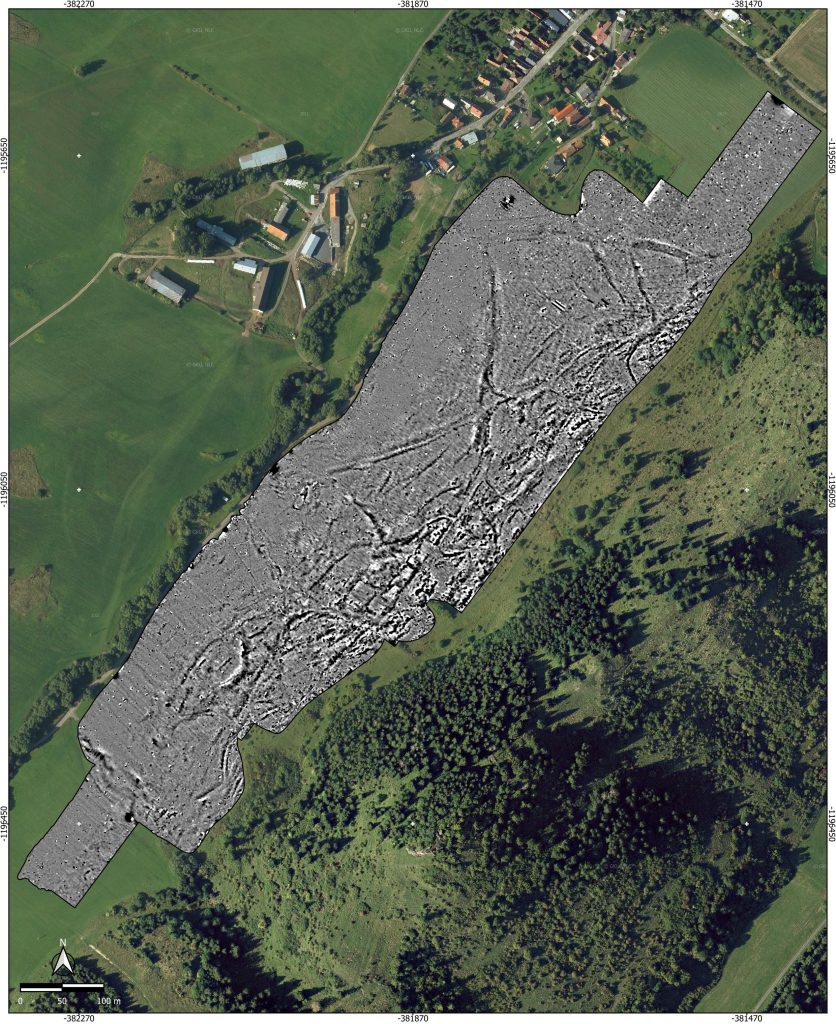
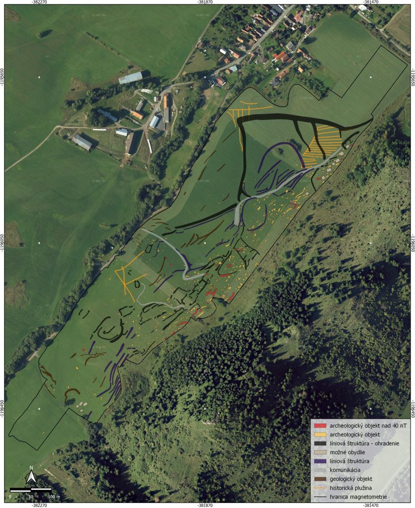
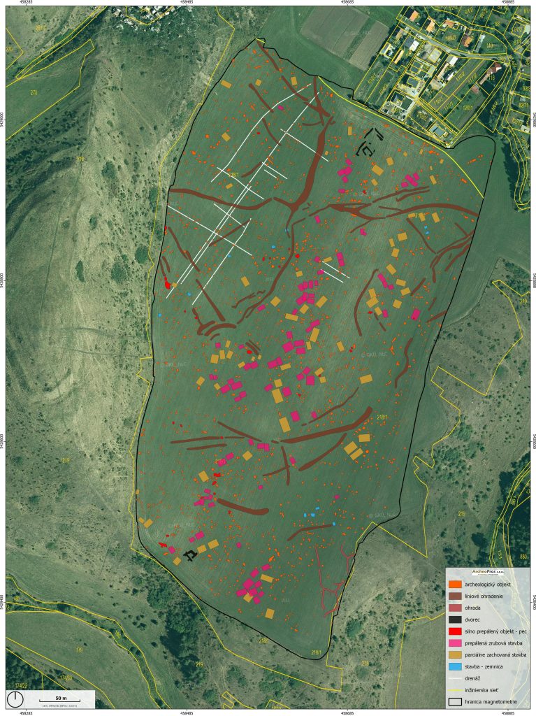
Results of geophysical survey using a magnetometer and interpretation of the detected underground structures and a number of archaeological objects in the area of the prehistoric settlement. The surveyed area exceeded 26 hectares. Link to source article:
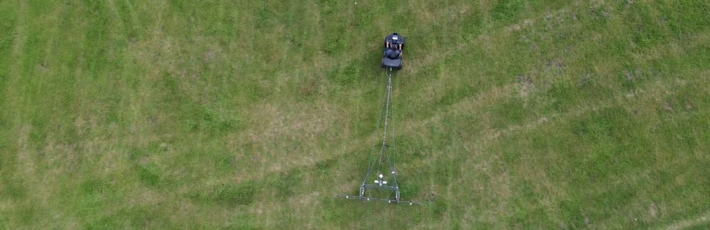
How geophysical surveys are carried out
1
Research and planning
We develope an efficient and optimized survey plan by understanding the project scope, integrating research objectives and conducting a detailed analysis of the terrain and site conditions. Based on these steps, we propose the most suitable and efficient methods for the survey to complete the work in the shortest possible time.
2
Data collecting and processing
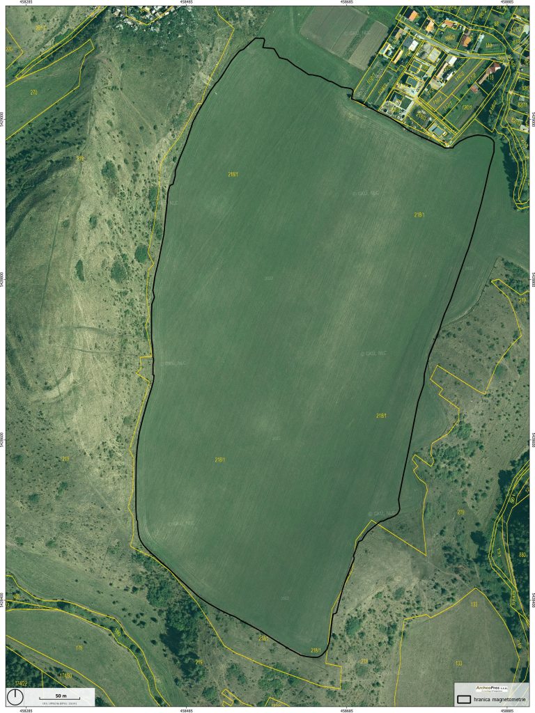
The actual measurements using specialised geophysical and geodetic instruments, while we continue to adapt to the conditions and schedule of the construction and research works.
3
Interpretation and report
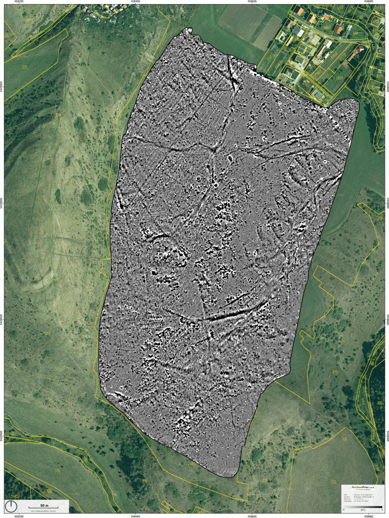
The interpretation explains the findings and the results help to refine archaeological investigations or building plans. The final report details the methods used, the processed data, and the interpretation, including detailed maps and graphics to fulfill legal and professional requirements.